Howard A. Landman is a mathematician, engineer, scientist, and sometimes artist and poet living in Fort Collins, Colorado.
Switzerland day 43: The Climbs of Grindelwald (part 1)
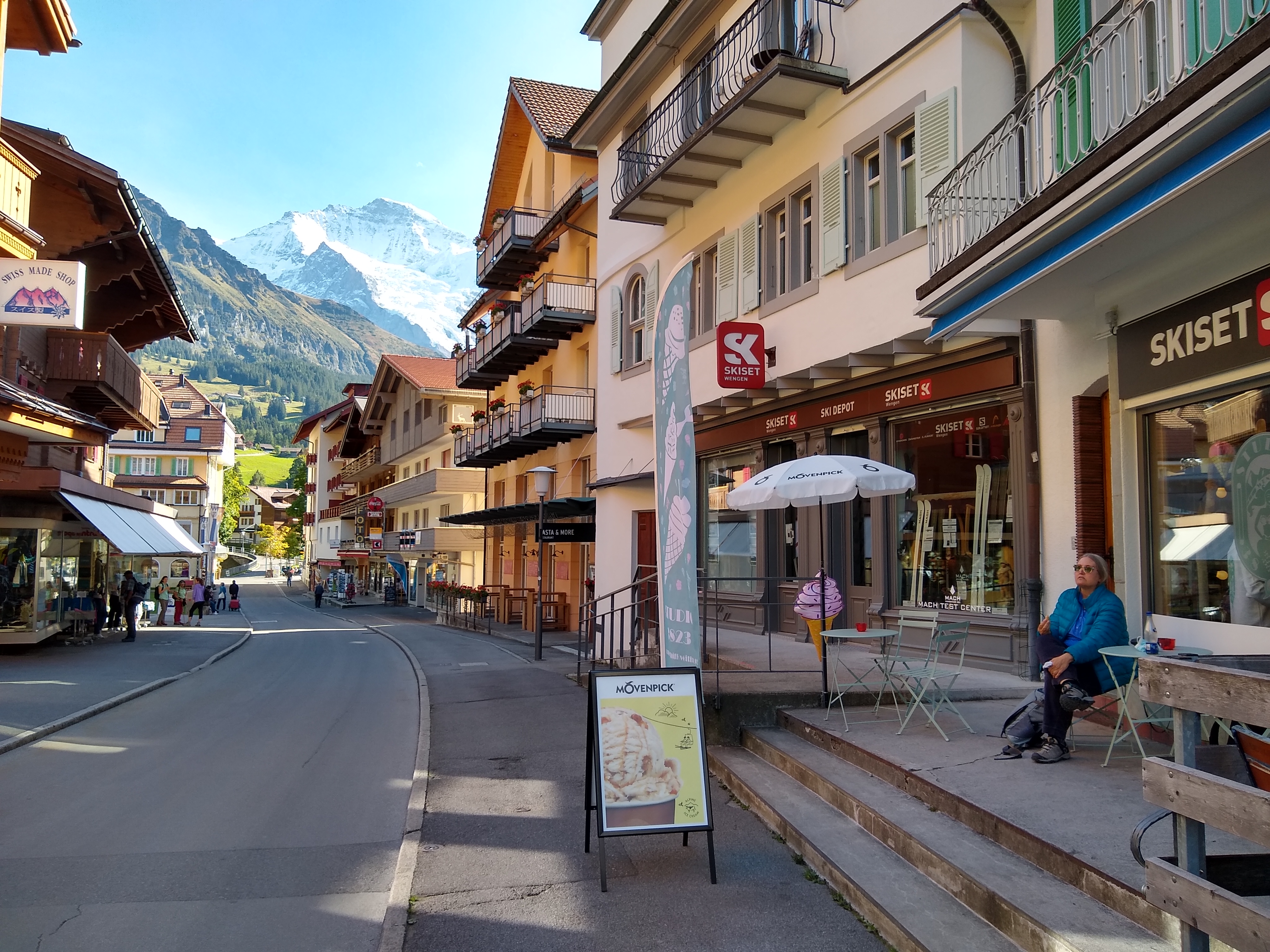
October 1st: We had arrived in Grindelwald late the previous night, but it was too dark to see much. Morning light gave a much different impression.
Part of the view from our balcony at the Gasthof Panorama. Left edge center, a tiny piece of the base of the Eiger (“Ogre”) north face. Far left rear peak, Mönch (“Monk”). Center, the Jungfrau (“Virgin”). Below, the village of Grindelwald.
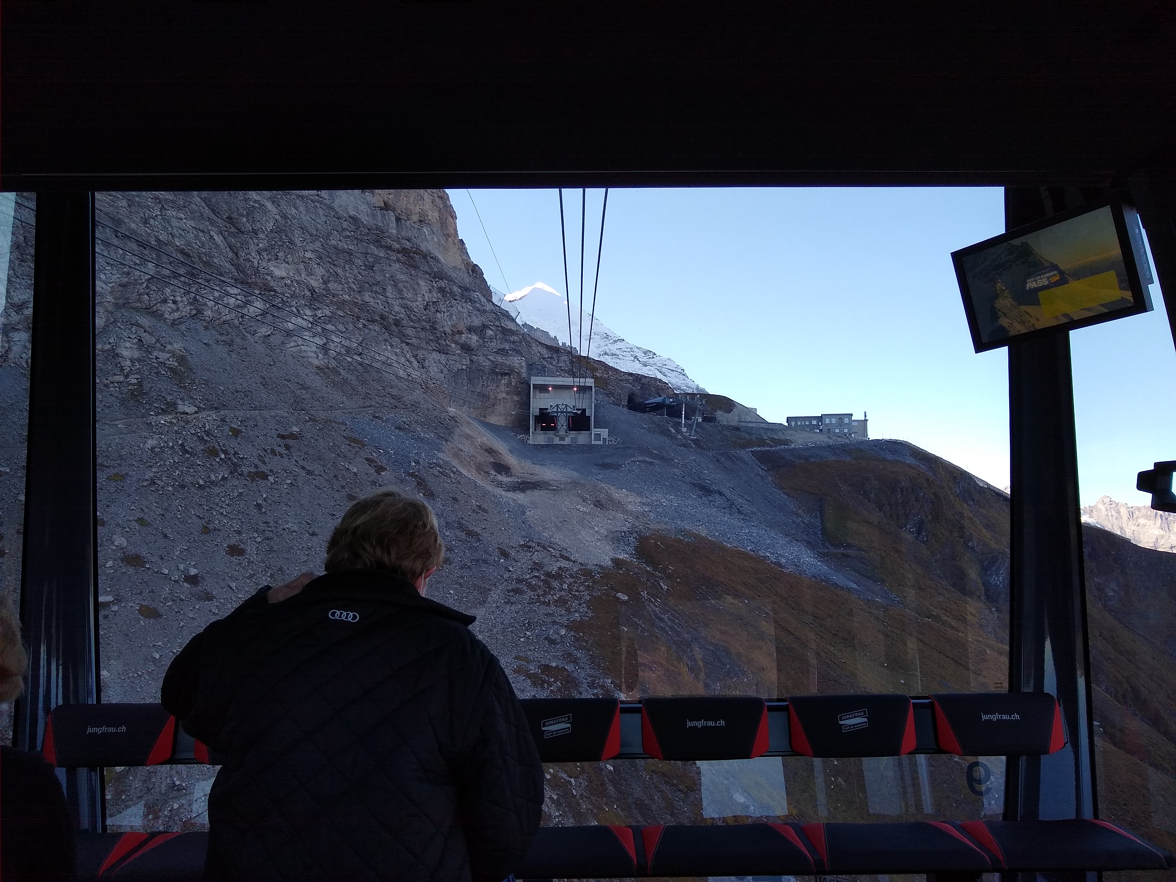
We decided to tackle the biggest challenges the first day, and bought a 3-day pass to (almost) everything in the region. First step was to take the cable car to the Eiger Glacier station. It’s a 45-minute ride; you have to gain a lot of altitude.
Looking up. North face of Eiger on top left.Looking back down.Cue I Want To Take You Higher.Approaching Eigergletscher (Eiger Glacier) station. Upper left is the Nordwand (North Wall) of the Eiger, also known as the “Mordwand” (Murder Wall) for the many people who have died attempting it. This is about as close as I got to it.
At the station, we are technically “on the Eiger”. Check off one mountain. Then transfer to the cog railway that goes up through a tunnel inside the Eiger to the saddle between Mönch and Jungfrau.
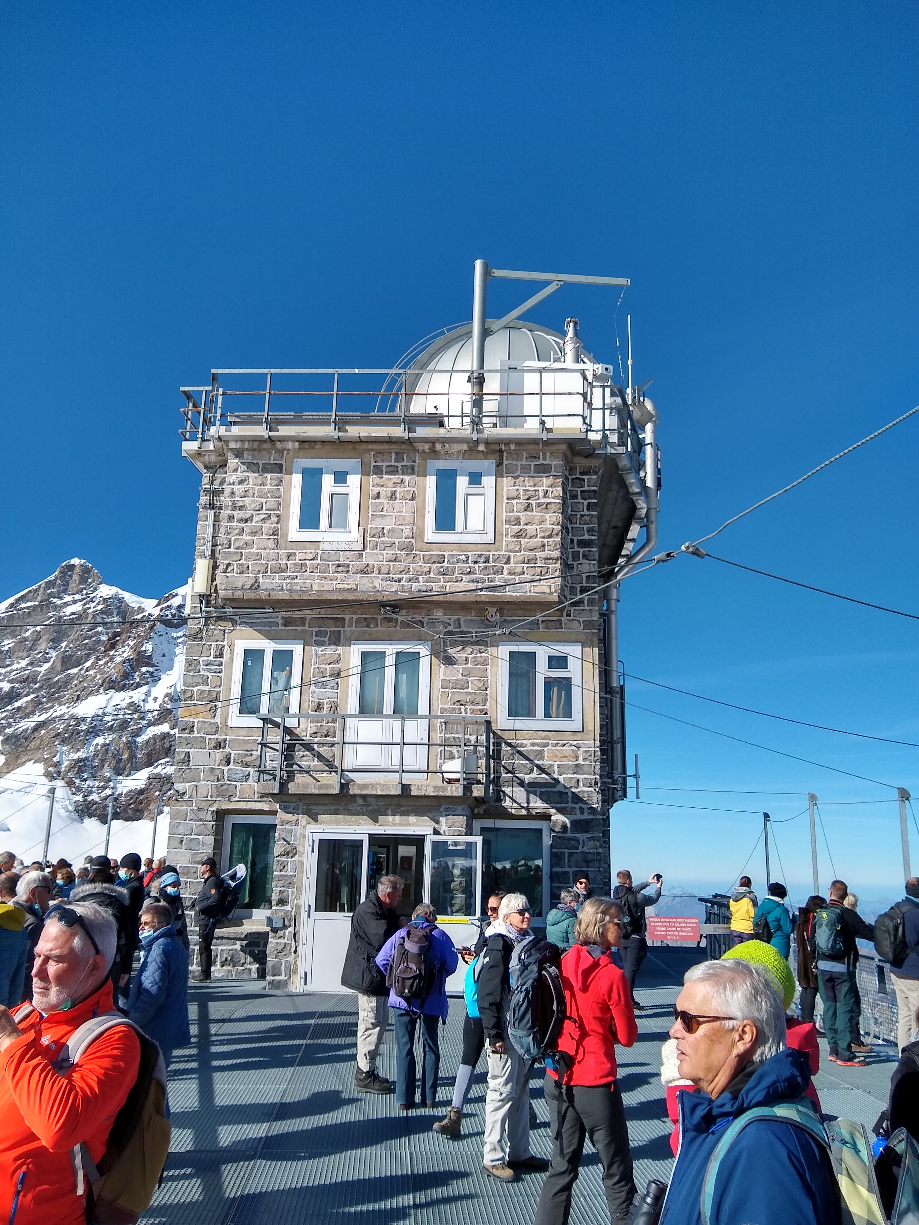
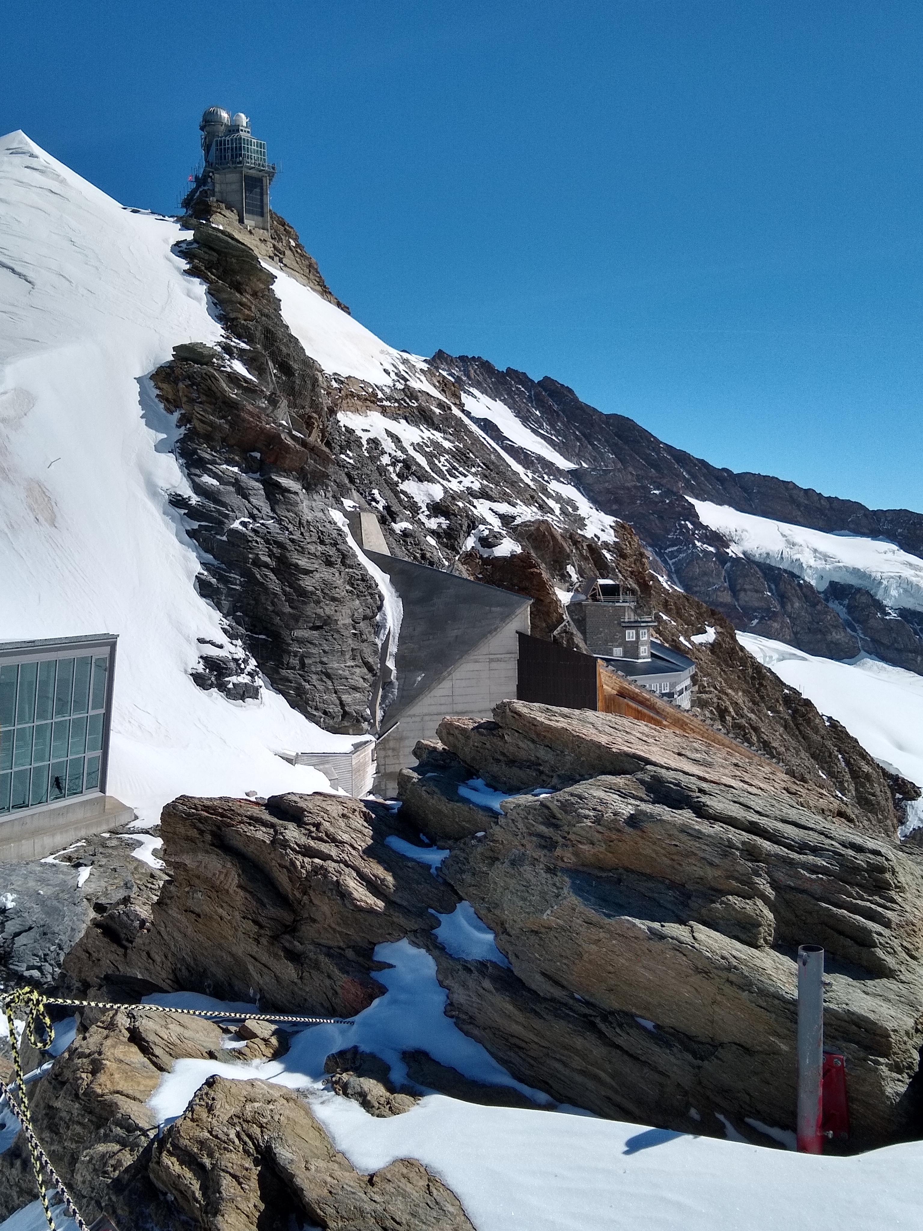
View from the train before it entered the tunnel.At Eismeer station, 3160 m, inside the Eiger. There are two stations in the mountain, each with a window looking out. I think the one Clint Eastwood hung outside of in The Eiger Sanction was the other one, but they don’t stop there any more. 😦The view of the upper glacier from the Eismeer window.A few minutes later, we are finally at Jungfraujoch, “Top Of Europe”, the highest railway station on the continent. The pass itself is 3464 m, but the station goes at least 100 m higher.The glacier overview from the station. Note that the cloud tops in the background are well below the mountains (and us).The top of the station is built on a rock called the Sphinx. (Mountain #2 for the day.) It sports a weather station and observatory, which includes a cosmic-ray muon detector that sends its data down to the Einstein museum (to be compared with an identical one inside the museum). I wasn’t allowed to see the detector, but no big deal, it’s only a raw counter with no ability to measure decay lifetimes.A couple of alpine choughs (Pyrrhocorax graculus) liked the station and weren’t afraid of people. They nest at higher altitude than any other bird in the world.Looking southeast at the small towns on the opposite side of the mountains from Grindelwald.The Mönch. In the lower right you can see people and a flagpole; that’s the actual Jungfraujoch saddle between Mönch and Jungfrau. We went down there later.The trail out to the Jungfrau guest house. We didn’t go all the way, but definitely far enough to be “on the Jungfrau”. 🙂Carol (and I) on the Jungfrau. Check off mountain #3.
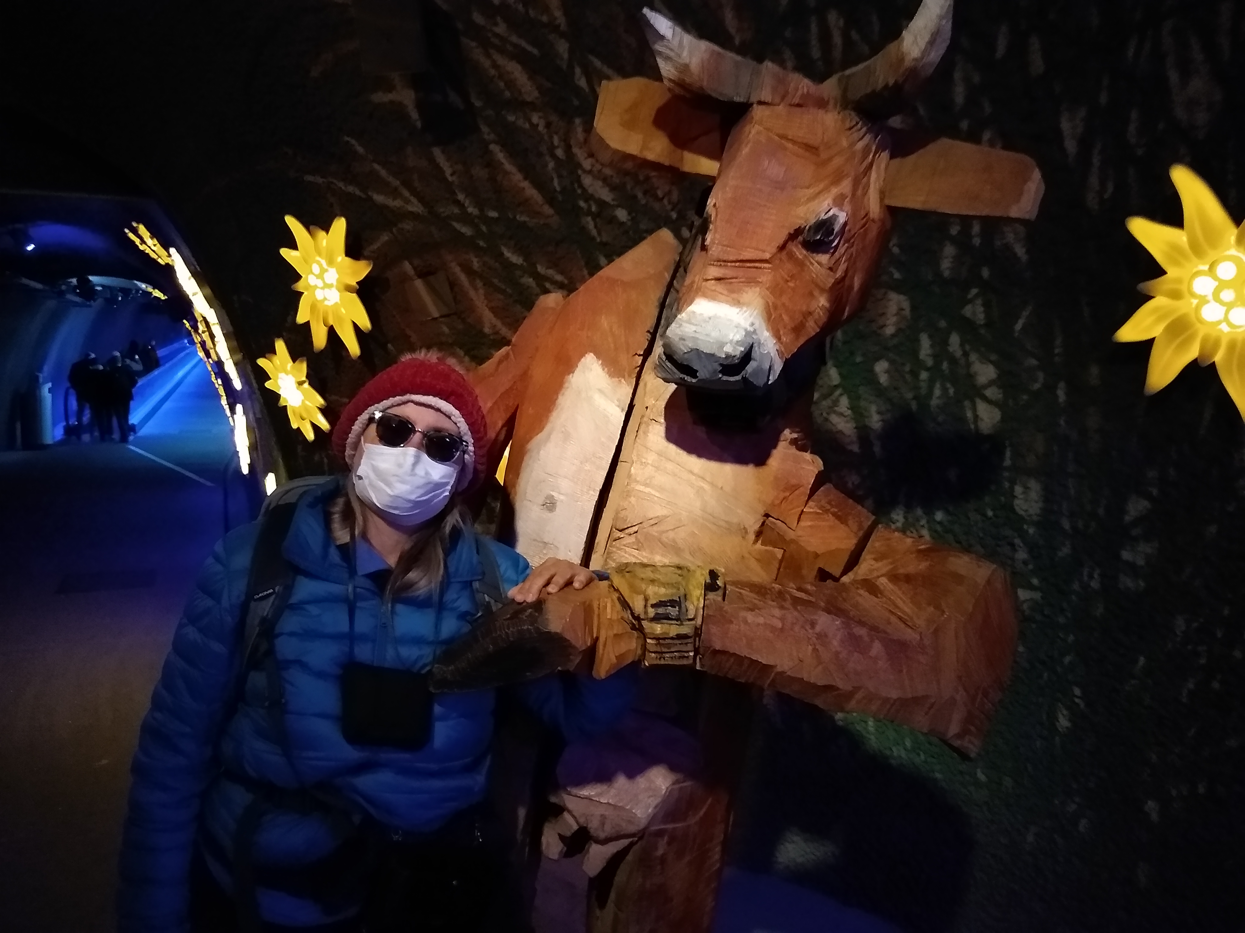
Back inside the station and continuing the tour, it suddenly became like Disneyland.
Switzerland has a serious fetish about big wooden cows. They were everywhere.Then through an ice tunnel to the ice museum.
On the way out, we passed a sign saying that Huangshan (黄山) in China is considered to be the “twin mountain” of Jungfrau. Haven’t climbed that one yet. Maybe next trip to China.
Next up was to hike out to the Jungfraujoch pass.
Me, on the Mönch side of the pass, so technically “on the Mönch”. Check off mountain #4. 🙂Carol at the flagpole that marks the pass.Looking back at the station and Sphinx/observatory.
Sadly, it was time to take the cog railway back down. The first leg was back to Eigergletscher, but then instead of taking the cable car back down to Grindelwald, we took a second cog railway down to Kleine Scheidegg.
Kleine Scheidegg station. Eiger in background.
Then we took a 3rd railway down to Wengen.
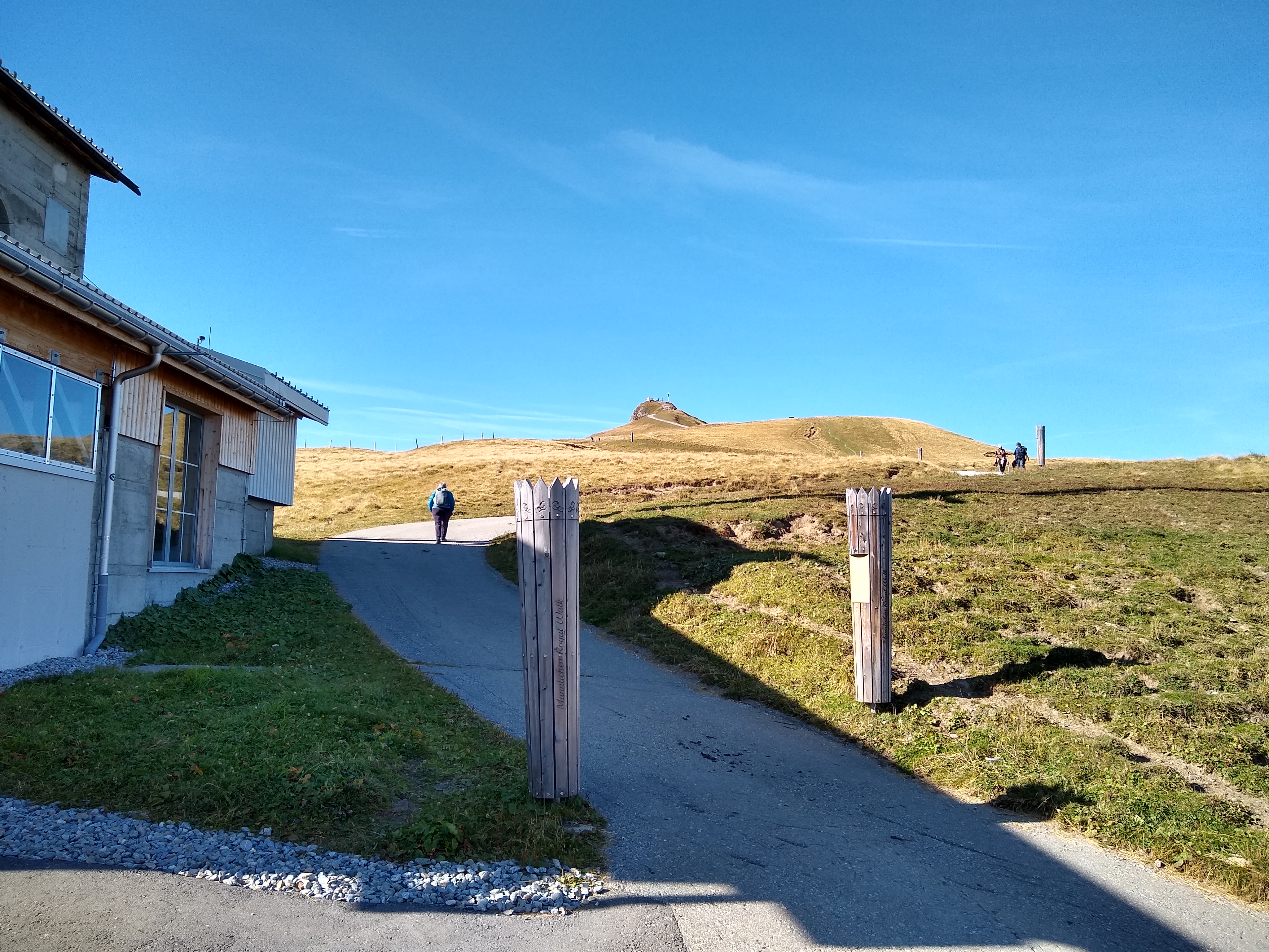
From Wengen, we took the cable car towards Männlichen town, but got off at the pass. That technically put us on Männlichen mountain (mountain #5).
Eiger-Mönch-Jungfrau in background, with Sphinx hidden behind closer peak (Tschuggen). We needed to transfer to the Holenstein cable line (in front of the peak).
We had a little time to kill, so Carol hiked up to the actual summit of Männlichen mountain, while I rested and took photos.
Carol hiking out; Männlichen peak in the background.Carol took a panorama from the top of Männlichen.
But then we met up at the Holenstein station. This technically put us on Tschuggen (mountain #6).
Switzerland and wooden cows. In this case, you’re supposed to climb in the butt and slide out the mouth, which seems backwards. The black discs are mini-trampolines.
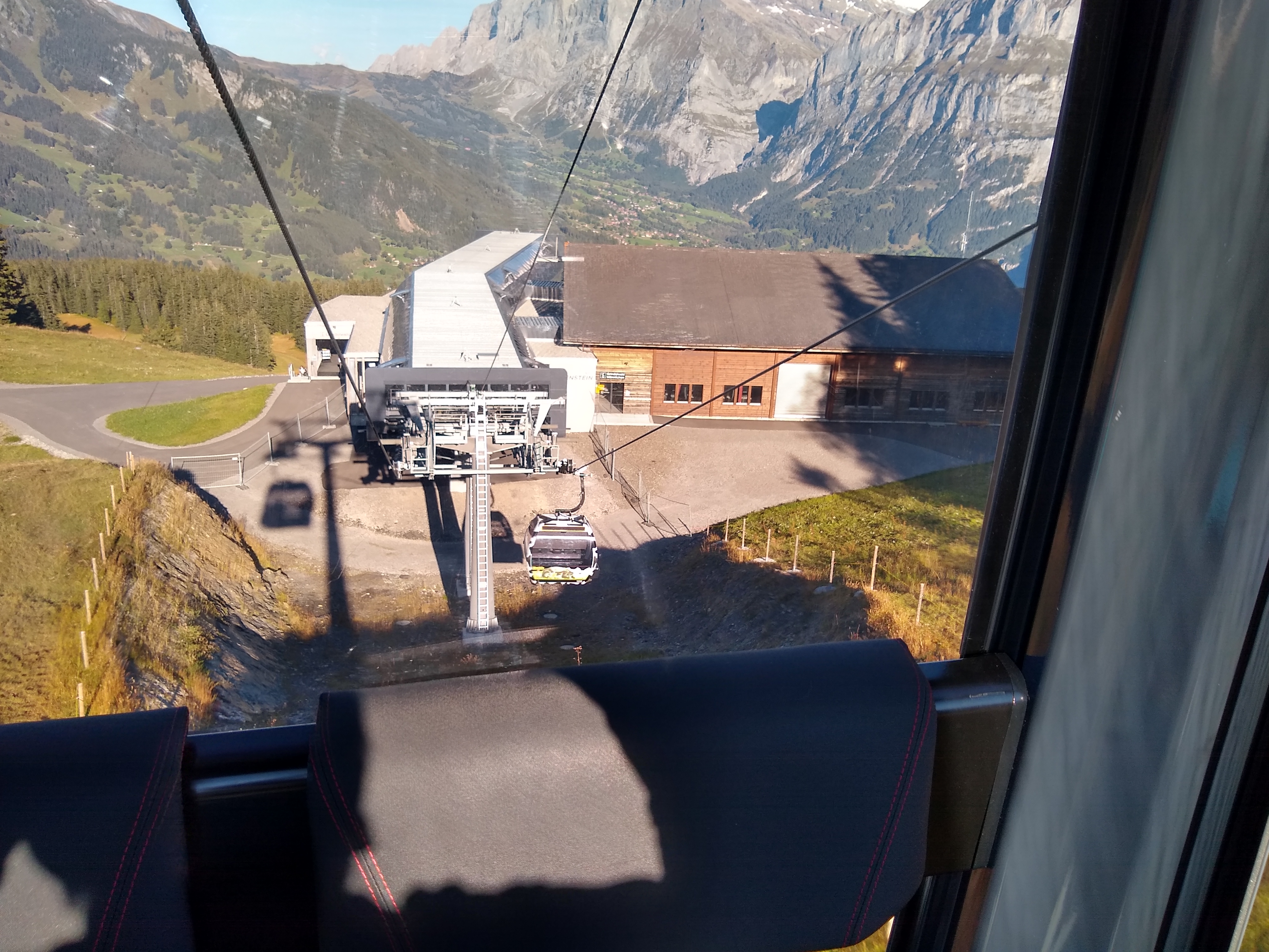
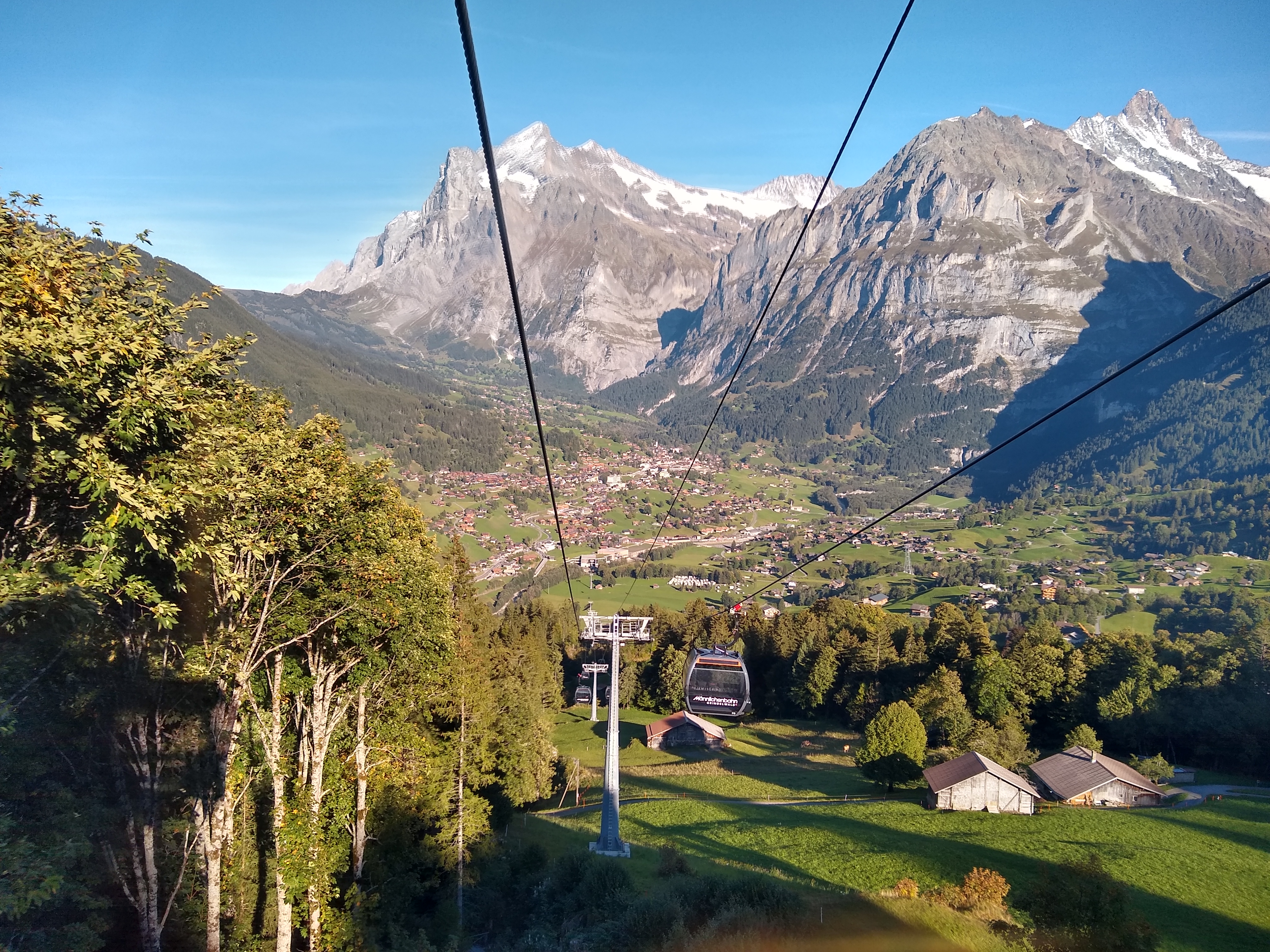
Then we took the Holenstein cable car down.
Bye-bye Eiger, Mönch, Sphinx, Jungfrau!Approaching the Holenstein station. We passed right through it and continued on down to Grindelwald (visible beyond).Approaching Grindelwald.
For dinner, we wanted to try a genuine Swiss fondue, so ate at Bebbi’s “Happiness Fun & Food” Restaurant.
The fondue came with bread AND cooked seasoned vegetables.Sunset view from the restaurant.
That ice museum looks fascinating, and the views are stunning, but I think I got altitude sickness just thinking about how high the top of the world is.
Coloradoans aren’t required to be impressed by that. We have:
1. Mount Evans Scenic Byway, Colorado, 14,160 ft (4316 m)
2. Pikes Peak Highway, Colorado, 14,115 ft (4302 m)
3. Trail Ridge Road, Colorado, 12,201 ft (3719 m)
4. Cottonwood Pass, Colorado, 12,126 ft (3696 m)
5. Independence Pass, Colorado, 12,112 ft (3692 m)
6. Loveland Pass, Colorado, 11,992 ft (3655 m)
7. Guanella Pass, Colorado, 11,660 ft (3554 m)
8. Hoosier Pass, Colorado, 11,532 ft (3515 m)
So the Jungfraujoch (3464 m = 11365 ft) might make a Colorado top-10 list, but just barely.